Thane-Borivali Twin Tunnel Route Map PDF: Distance, Alternate Routes & Construction Progress 2025
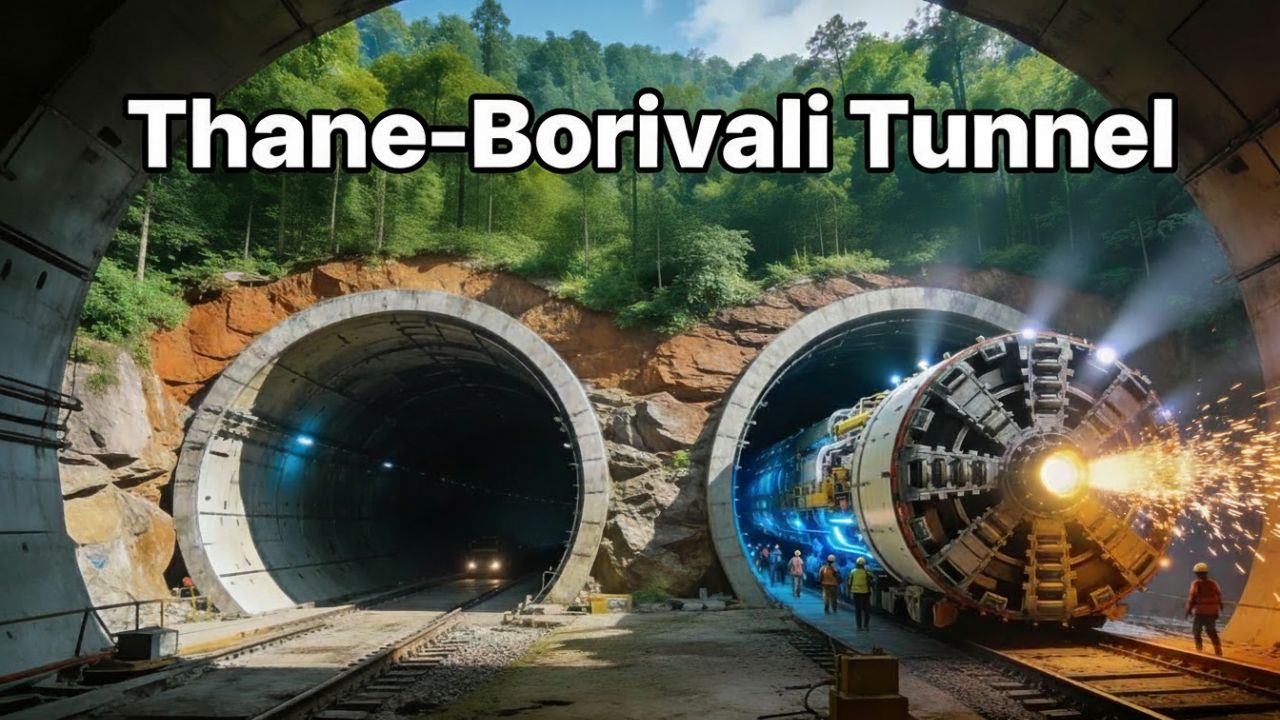
Thane-Borivali Tunnel Overview Thane-Borivali Twin Tunnel will run under Sanjay Gandhi National Park (SGNP), connecting the eastern suburb of Thane with the western suburb of Borivali through twin road tunnels. It is planned as an 11.8 km long corridor, of which around 10.8 km will be actual tunnel and the rest will be approach roads … Read more